1 / 0

Overnight Forecast (7/26/26)

Tonight: Mostly clear. Lows in the low 60s.

Sunday: Mostly sunny. Highs in the mid 80s.

Sunday Night: Mostly clear with a slight chance for a shower or storm late. Lows in the mid 60s.

Monday: Mostly sunny with a slight chance for PM showers and thunderstorms. Highs in the mid 80s.

Tuesday: Mostly cloudy with a chance for PM showers and thunderstorms. Highs in the mid 80s.

Wednesday: Partly sunny with a chance for PM showers and thunderstorms. Highs in the mid 80s.

Thursday: Mostly sunny. Highs in the mid 80s.

Friday: Mostly sunny. Highs in the upper 80s.

Have a great rest of your weekend!

-Drew

Categories: Weather Forecast

Forecast

Currents

Change Location

Current Conditions

Hourly Forecast

Extended Forecast

Kia February 2025

The WMDT Weather Team


Connect With Us

Weather Blog

Weather Tidbits

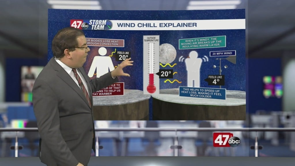
Weather Tidbits: Wind Chill & Our Bodies

This Weather Tidbits explains how the wind chill affects our bodies. The 1st thing to understand is that our bodies lose heat through convection. When the outside temperature is…

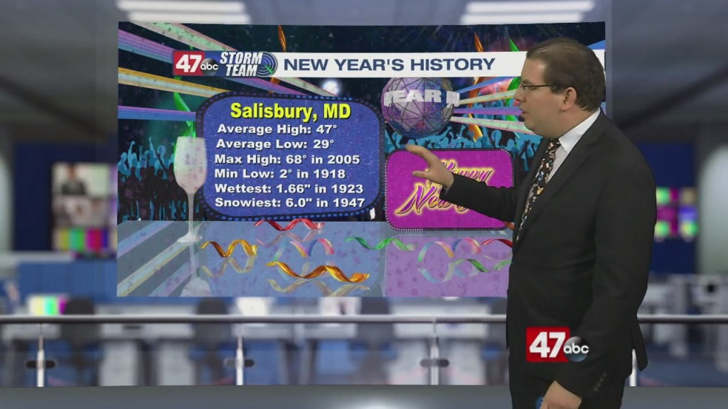
Weather Tidbits: New Year Climatology

This Weather Tidbits dives into the climatology for New Year's Day. Salisbury's average high is 47° with an average low of 29°. The highest maximum temperature or record high of 68°…

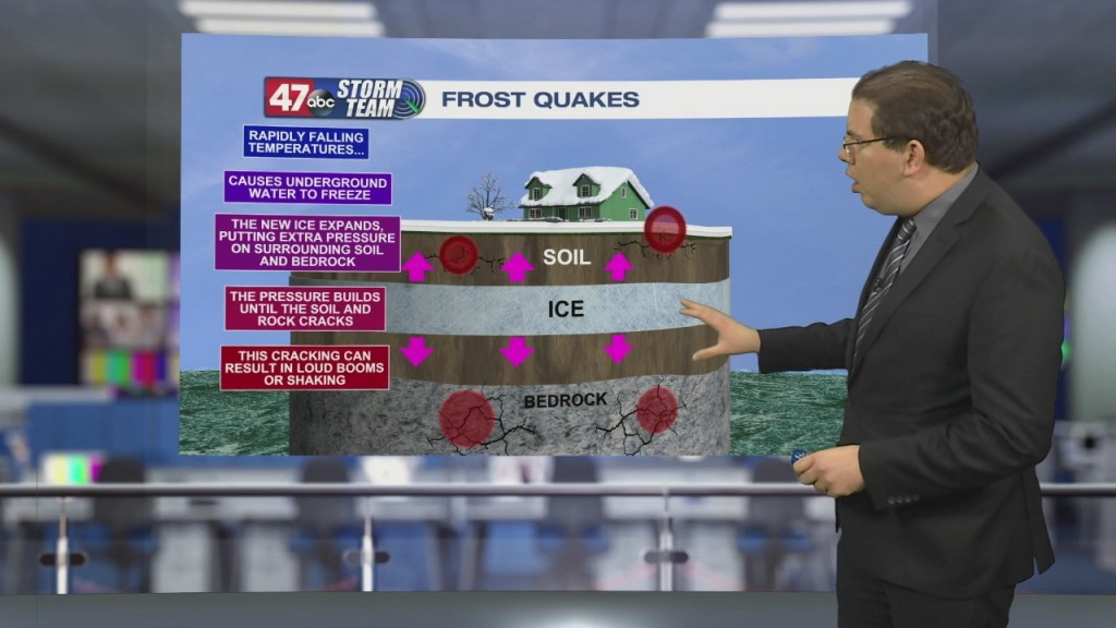
Weather Tidbits: Frost Quakes

This Weather Tidbits answers what is a frost quake? Frost quakes are seismic events but triggered by the weather. These happen temperatures rapidly fall, typically from near freezing to subzero within 48…

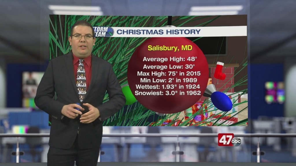
Weather Tidbits: Christmas Climatology

This Weather Tidbits explores the extremes and averages for Christmas. The average high in Salisbury is 48° with an average low of 28°. The highest maximum temperature or record high is 75°…