Will this week be winter’s final act?
It’s looking likely that most of Delmarva will get another impactful snow Wednesday afternoon into early Thursday morning. A shot of arctic air this week will set the table for a stretch of below average temperatures that will prime the region for snow. (See more on the latest forecast here)
However, the longer range forecast indicates that this cold snap will be the last one for the rest of the month…and potentially for the final weeks of winter.
Temperature trends for the 8-14 day outlook bring the Mid-Atlantic region closer to average. For late February in Salisbury, average highs/lows move into the low 50s/low 30s.
A look into early March shows signs of this trend continuing. With a weak, but persistent La Nina in the Pacific, this teleconnection appears to outweigh other global patterns in the time period, which will keep arctic air locked up in the far northern regions of Canada. Although snow is certainly possible into early April, it’s plausible this week’s cold snap and snow event may be winter’s last gasp for Delmarva.
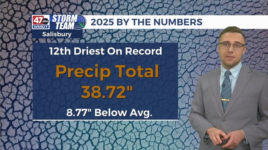
The last few weeks have brought an abundance of rain (and snow melt) to the area, which has been significant in the slow reversal of severe drought that’s plagued Delmarva since the Fall. Precipitation trends continue to point towards average amounts to finish out the month of February. Although a full reversal of drought conditions will be unlikely heading into the start of Spring, the long range outlook suggests continued improvement for the warmer months ahead.


