Today’s Forecast: December 17, 2021
Scattered showers are in the forecast tonight as a stationary boundary remains just south of the area. Mostly cloudy skies can be expected with lows in the upper 40s to near 50.
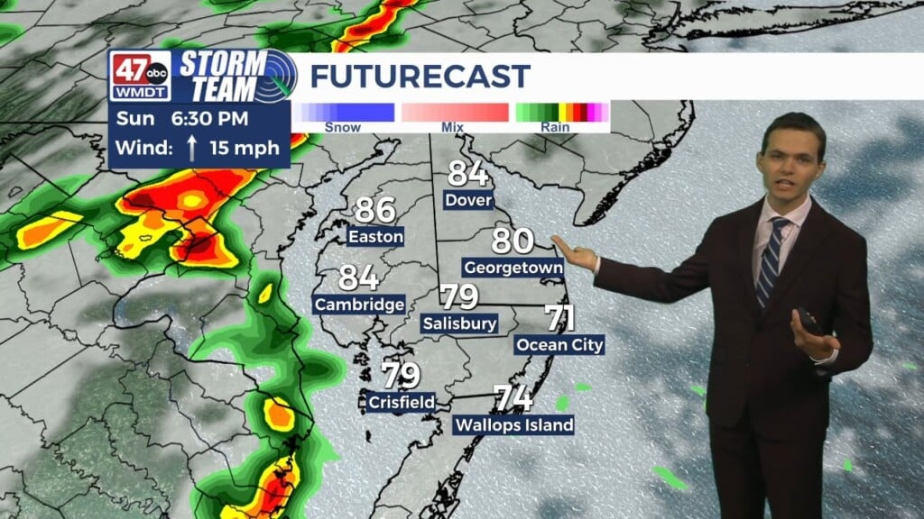
Saturday will have plenty of clouds around with highs around 60 degrees. Temperatures will be slow to warm, with the warmest part of the day being just after sunset as a warm front lifts north. By then, temperatures could reach the mid 60s. Rain will develop overnight as a cold front passes through, and then temperatures will plummet. Sunday will be breezy and chilly with highs in the mid 40s under partly sunny skies. Showers will likely linger up until midday.
Monday turns sunny with highs in the low 40s. Tuesday will be partly sunny with highs around 50 degrees. Highs remain around 50 degrees on Wednesday with partly sunny skies.
On Thursday, it cools back down into the 40s for highs under mostly sunny skies. Christmas Eve looks mostly sunny and cool with highs near 50.
Have a wonderful weekend!
-Daniel