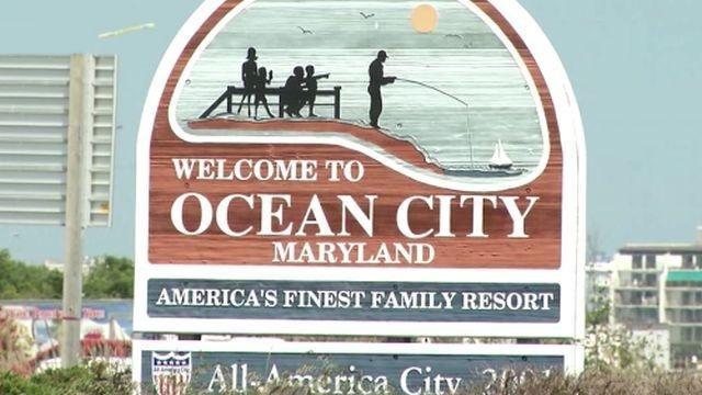
FEMA urged to take look at flood zone lines in Ocean City
Certain maps that help decide flood insurance rates in Ocean City may have been drawn incorrectly, leading local and state lawmakers to ask the Federal Emergency Management Agency to take a second look.
Senator Jim Mathias says a protective dune was built in front of certain properties near 90th Street back in the 1980’s.
Terry McGean, city engineer for the town of Ocean City, says that was known as a secondary dune; however, a primary dune was built east of that in the 1990’s through the Beach Replenishment project. It reportedly covers much more ground.
According to the town of Ocean City, new flood insurance rate maps were issued by FEMA this past July but they drew flood zone lines based on the original dune.
Senator Mathias says this means any building located within the flood zone would be subject to higher premiums on insurance than other ocean front neighbors, despite receiving the same amount or possibly more protection.
“It’s causing these property owners significant amounts of insurance premiums…tens of thousands of dollars. In one case, one conversation…a half million dollars,” Says Senator Mathias,”When you add all of these properties up in that 20 to 30 block area, it could be millions of dollars.”
47 ABC has reached out to FEMA for a comment on the matter. As of 6 p.m. Wednesday, there has been no official comment.