The hurricane season is far from over
Despite a sudden lull in activity, the hurricane season is far from over. For much of August the tropics were in full swing, with Debby bringing torrential rain, flooding and tornadoes to many areas along the east coast. And Ernesto, while churning further out to sea, caused dangerous rip currents that plagued beaches for several days. It’s likely that we’ll end the month without a new named storm (next up is Francine).

But statistically, we haven’t even reached the most active time of the year. The average peak activity in the Atlantic occurs just before the mid point in September, followed by another smaller surge in activity through much of October.

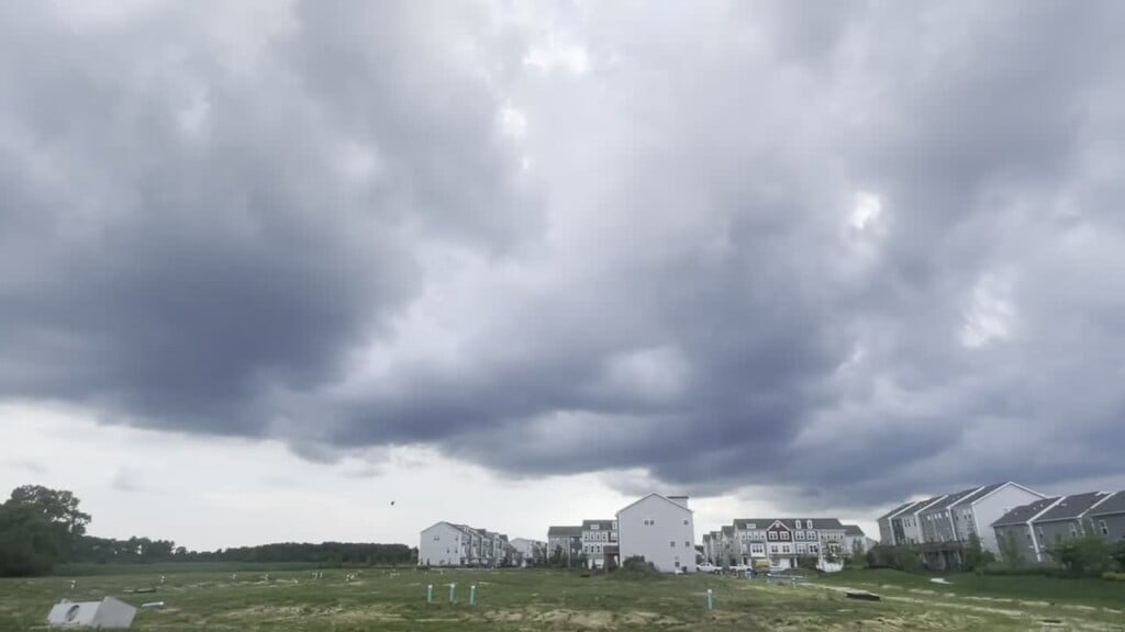
Ebb and flow is typical throughout the hurricane season, even in seasons that produce above average activity (which NOAA predicts will be the case for this season). Saharan dust from western Africa can inhibit development in the atmosphere at several points in the season. Sometimes upper air patterns create temporary areas of wind shear that limi the high growth of thunderstorms that are essential to tropical storm development. But with record warm ocean waters continuously available in the Atlantic Basin, another surge in tropical activity is inevitable. And indications are already pointing towards favorable conditions for more development leading into the start of September. Stay tuned!