Frigid temperatures lead to ice covered waterways on Delmarva
Last week’s cold temperatures didn’t break any records, yet a 94 hour stretch below freezing was something we haven’t experienced on Delmarva in several years (about 7 years, to be exact – I talked about it in last week’s blog post)
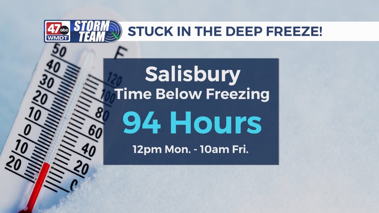
From noon on Monday until 10am Friday, the Salisbury airport recorded a continuous stretch of sub freezing temperatures. These were the lows/highs each day last week:
Mon (1-20): 16º/32º
Tue (1-21): 13º/20º
Wed (1-22): 7º/22º
Thu (1-23): 4º/29º
Fri (1-24): 9º/38º
Additionally, the arctic air was enhanced by the snow and ice pack that still blanketed most of the area. This was especially the case late at night, when temperatures dipped into the teens and single digits.
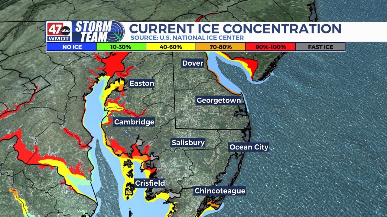
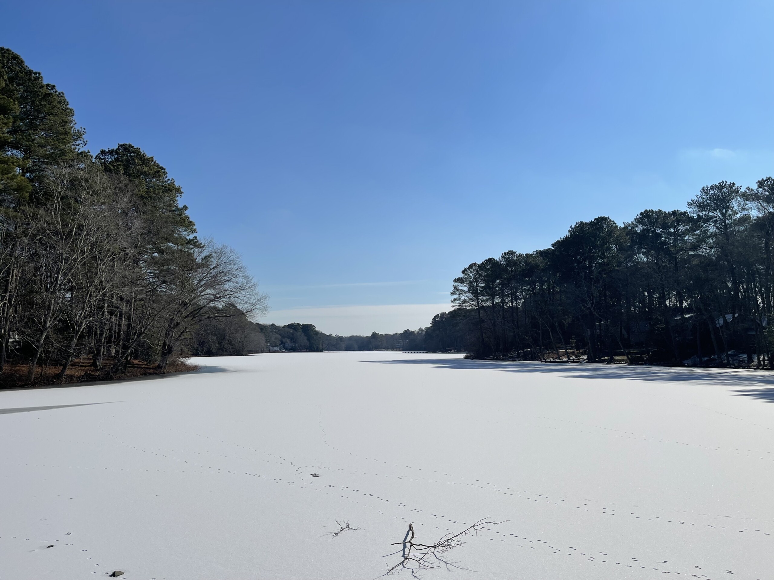
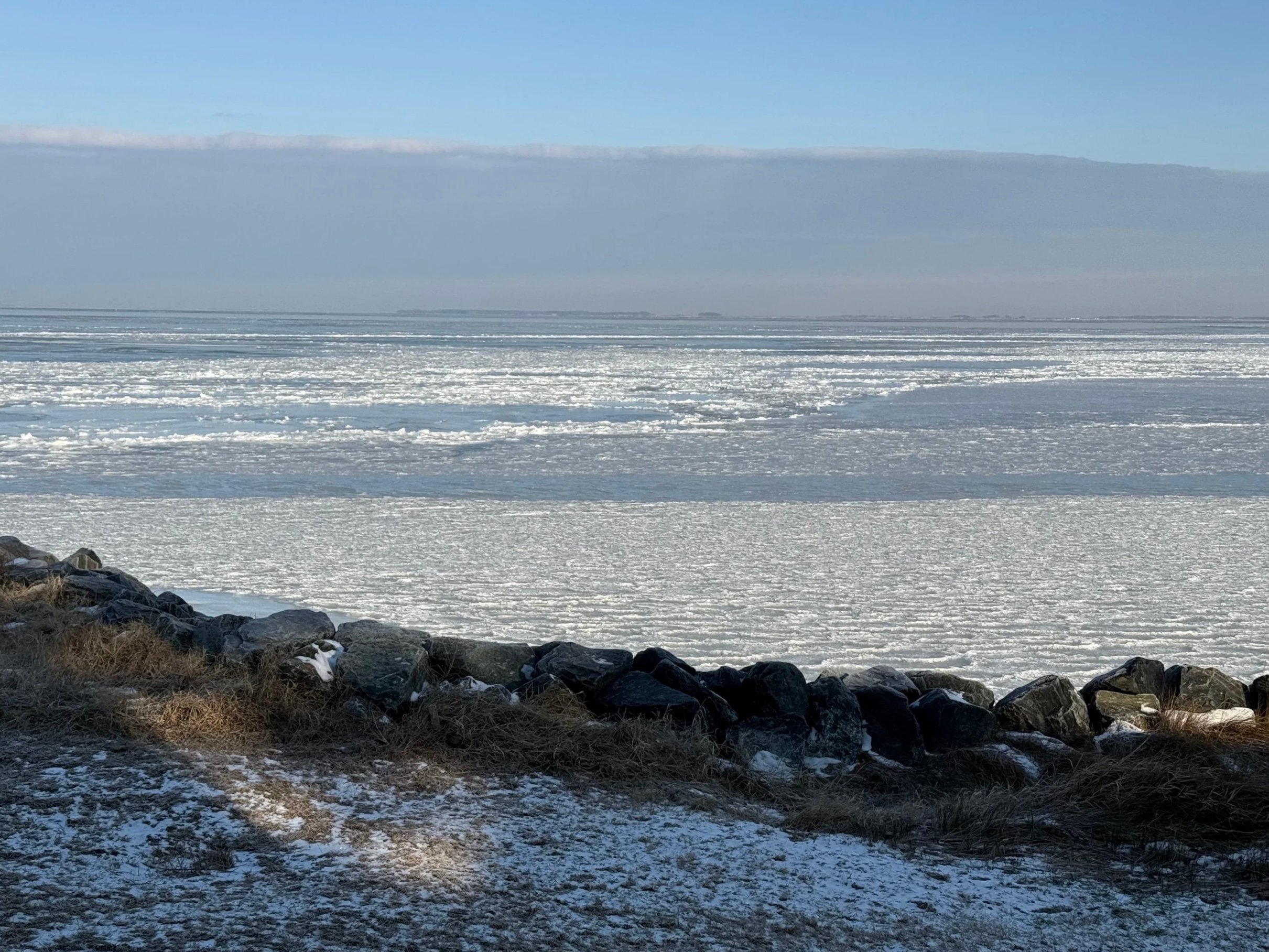
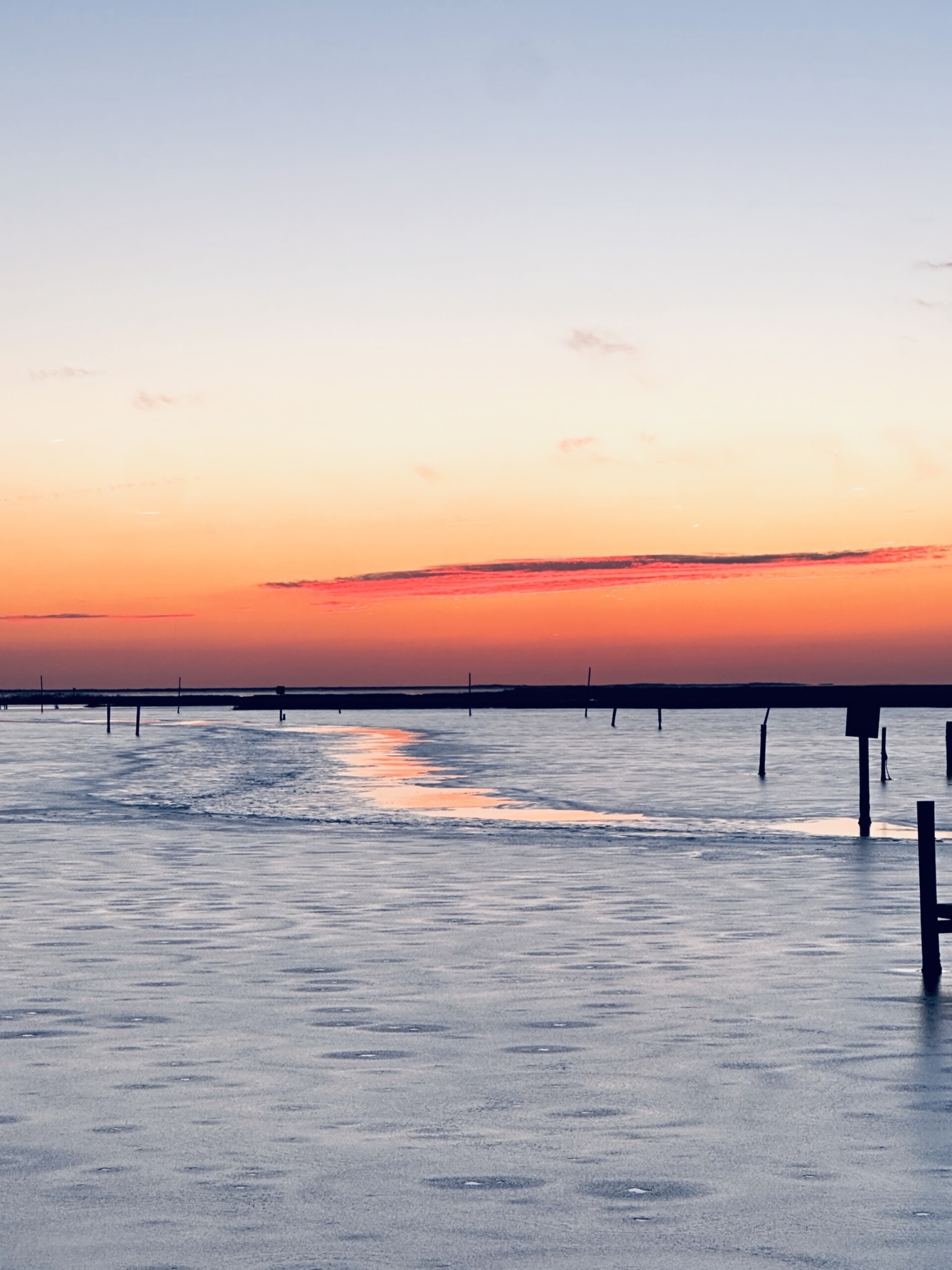
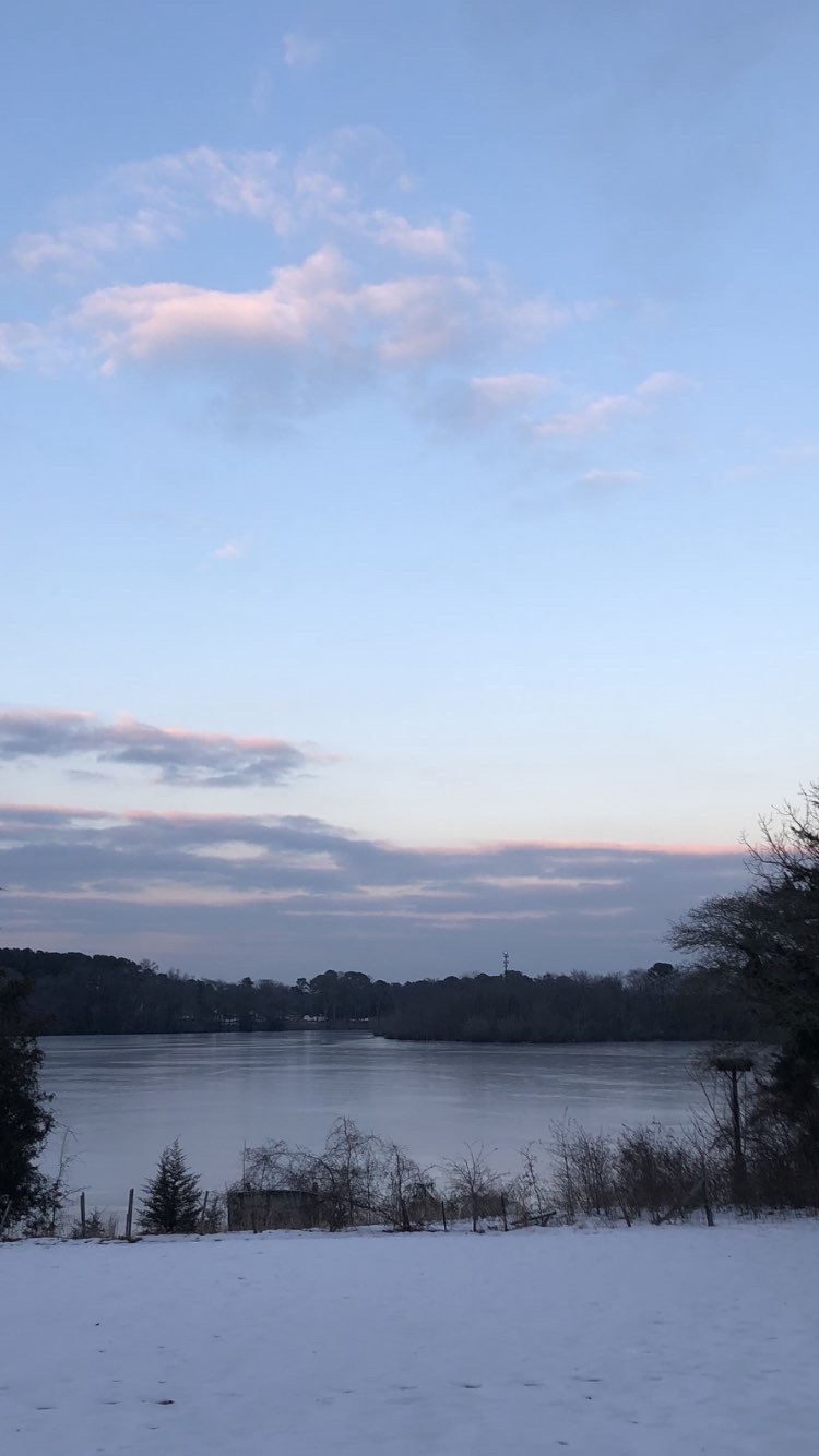
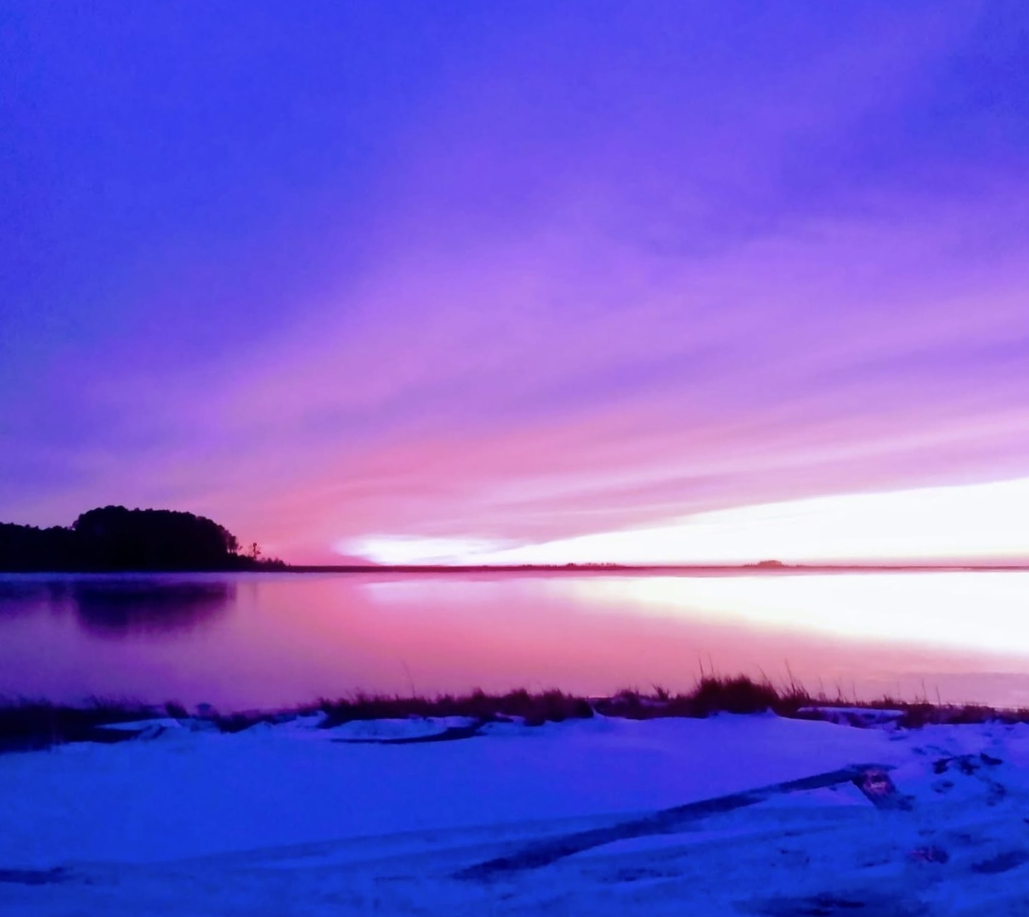
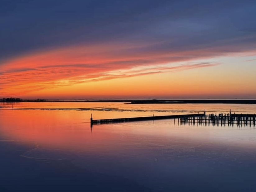
Ice coverage as of Friday 1-24
The deep freeze also accelerated ice coverage that had begun forming on many of the area ponds, streams, and rivers. Even coastal waters along the Chesapeake and Delaware Bays saw significant ice formation.
With a weak La Nina forming in the Pacific, temperatures will be considerably milder — albeit near or just above average — at least for the short term. Significant melting is expected in the coming days with highs in the 40s and 50s through this coming weekend.
The moderation in temperature is consistent with the typical ebb and flow of an active winter, so more frigid days and snow chances are certainly possible as we move into February. We have a long way to go until spring!
Check out some pictures of the recent ice formation across Delmarva: