Helene lingers, delaying return of fall weather
It’s no surprise that a storm with the size and energy of Hurricane Helene would take awhile to wind down. After catastrophic wind damage, flooding and tornadoes across several states, including in areas many hours inland, the storm is now a shell of what it was at its peak on Thursday and early Friday morning.
On Delmarva, the effects from Helene were minimal. But the fact that the storm tracked well west of the Appalachians should give one an idea of how powerful this system was, just to have a hand in our weather.
Helene’s remnant circulation has been nearly stationary as it continues to diminish in the Mid-South region well west of the mountains. Although a weak system at this point, its influence continues to keep a hold on the weather pattern stretching east through the Mid-Atlantic.
Tropical air remains in place across our area as a result. Helene’s remnant circulation will track across the mountains and move east out to sea, but the process will take several days. As a result, unsettled weather will reemerge for the end of the weekend with clouds and occasional showers.
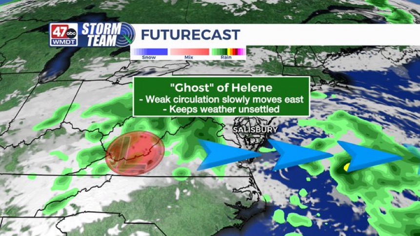
The slow progress of Helene’s remnant circulation will lock in shower chances for Delmarva into the start of the coming week. But by midweek the system will finally push off the coast, allowing a cold front to swing in behind it.
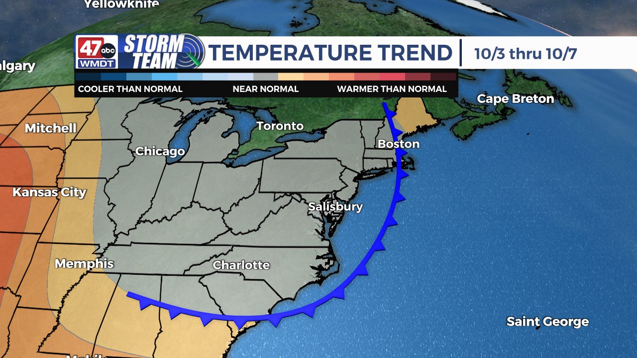
This will bring a fall “reset” to the area with a big drop in humidity and plenty of sun, as well as average early October temps…highs in the 70s and nighttime lows in the 50s.