Recent Rainfall & Drought Update
For many of us, the rainfall Tuesday into Wednesday was a welcome site. Specifically, Tuesday night provided us with the deep soaking that we needed. We can thank a dynamic storm system with a big dip in the jet stream aloft that helped pull tropical moisture northward along the east coast.
A widespread 1-2″ of rainfall was received from this storm, with additional readings within the peninsula above 2″.
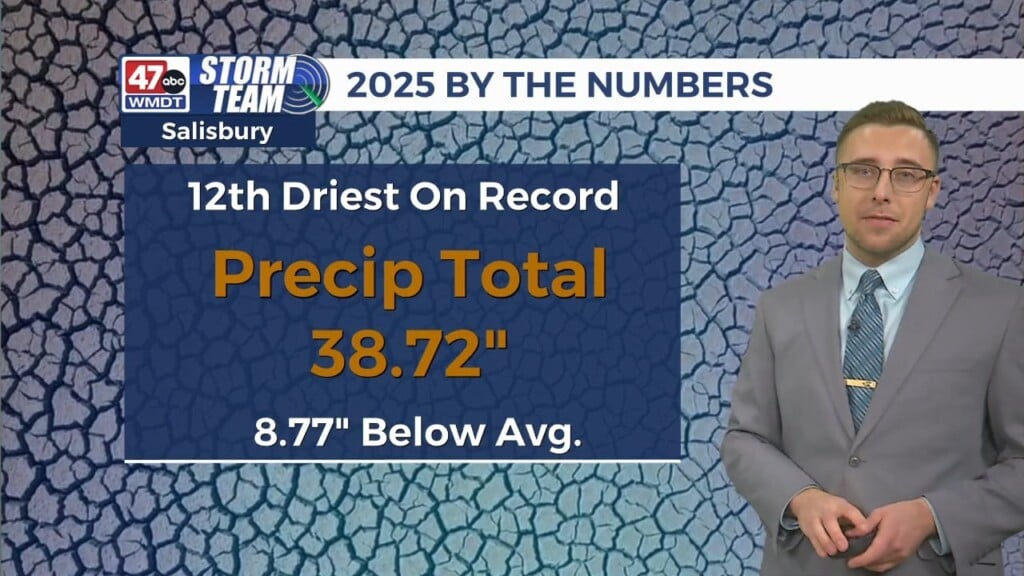
With this in mind, where do we then stand in our rain deficit? Well, it’s quite clear that Salisbury’s deficit for November has been greatly reduced from this storm. We are now much closer to rain amounts that are typical for this time in November, but still need more rain to achieve average rainfall since we are still 0.57″ below normal for the month to date. We also have to keep in mind that October ran 2.69″ below normal by the months end.
The latest drought monitor released shows data valid until Tuesday, November 21st at 7AM, which is before the storm moved through. The severity of the ongoing drought has increased, with severe drought conditions sneaking into Accomack county and abnormally dry conditions spreading further into Delmarva. We’ll have to wait until next weeks map update to see if any improvement has been made.
The recent rainfall is definitely a great starting point in helping with our rain deficit and improving drought conditions, but we are going to need to keep the wet trend going if we want to further do away with this drought.


