NOAA on the Eastern Shore: Collecting shoreline data to update nautical charts
A federal agency is here on the shore, working to collect data from the ocean, and their missions are all weather dependent.
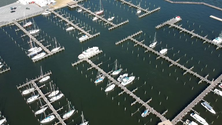
The National Oceanic and Atmospheric Administration, better known as NOAA, started in Virginia and they making their way up the Eastern Shore.
NOAA's mission is to update their nautical charts. Their remote sensing specialist, Jamie Kum says, "We are mapping the near ocean bottom topography and the nearshore land interface, so that helps safe navigation of boats."
When their wheels lift off, they'll be looking for answers below. We're told they have two lasers on board and they shoot laser data to the ground. From there, they get elevation data based on its return.
And collecting this information will help commerce boats or any watermen navigating their way through the shore. "Sometimes they're clearing the bottom of the ocean floor of less than a foot. They want to know exactly how deep it is to bring in more goods, " Aircraft Commander JC Clark says.
But the most important aspect is that it can protect anyone out on the water. It will allow them avoid areas that are too shallow and boat safely since they know their surroundings.
NOAA will be on the shore for another two weeks collecting data. After this mission, it could take about 8-10 months to finalize the nautical charts.