A Global Hawk checks out El Nino
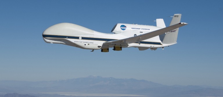
NASA and NOAA are collaborating to send NASA’s Global Hawk out over the Pacific Ocean to monitor storms made by the strong El Nino we are experiencing. This is all part of the NOAA mission called Sensing Hazards with Operational Unmanned Technology (SHOUT). The program will also demonstrate the use of autonomous aircraft to fill in data gaps in-case of the loss of a polar orbiting satellite. The Global Hawk will fly in between four to six 24-hour missions during the month of February. It’s expected to give scientists a better view of how atmospheric changes in the tropics (El Nino) are impacting the weather in the US.
El Nino is a climate phenomenon that is observed by warm sea surface temperatures in the equatorial Pacific. This can lead to a warm and dry winter in the Northeast U.S. and a cool and wet winter in the South. The Global Hawk will provide a much closer look at what is going on in the pacific as compared to a weather satellite. With a flying altitude of 65,000 feet and an array of sensors, the aircraft can get a more detailed data from the tropical storms. The instruments on the Global Hawk include NOAA-03 which measures ozone levels, the High Altitude Imaging Wind and Rain Airborne Profiler, the High Altitude MMIC Sounding Radiometer instrument, and a dropsonde system. The dropsonde system will drop tube shaped sensors that collect air-temperature, humidity and wind speeds. Also as part of the SHOUT program, NOAA will also use a Gulfstream IV research plane and the NOAA ship Ronald H. Brown. The goal is to get a clearer picture of El Nino and its impacts to West Coast U.S. storms and rainfall.