El Nino Update
Daniel Johnson wrote a blog in July explaining the development of El Nino. Here is an update on El Nino and a look at a study done by the National Weather Service in Wakefield explaining what it could mean for our region.
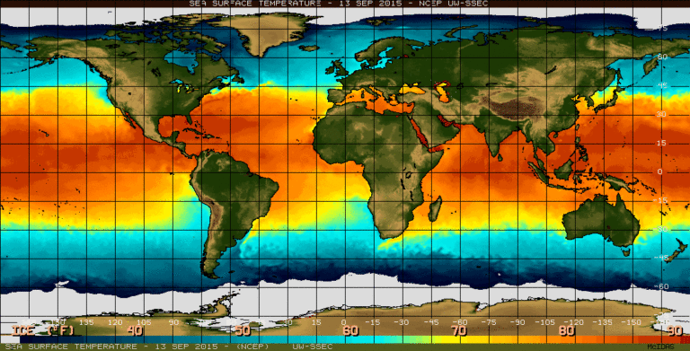
El Nino conditions have developed and are expected last until the spring of 2016. The strength of El Nino is determined by the sea surface temperatures (SST) in the Pacific Ocean along the equator between 170 W and 120 W longitude. In order for it to be considered an El Nino event the SST within this region have to average at least 1.5ºC above normal for 5 months. The current SST averages are well above 1.5ºC above normal, which is why it is being forecasted to be a strong event.
Since 1950, there have been six strong El Nino events. The NWS in Wakefield, VA studied the precipitation and temperatures in 5 different cities, including Salisbury during the six events and came up with the following result:

Precipitation
During an El Nino event, abundant amounts of moisture get lifted from large thunderstorms in the Pacific Ocean and the subtropical jet streams in the upper levels of the atmosphere transport the moisture across the southern United States. This set up usually brings more frequent occurrences of moderate to heavy rain or snow storms to much of our region.
However, average values of precipitation totals from the past six strong El Nino events only slightly favor wetter than average conditions. This then leads to the conclusion that odds favor a normal to wetter than normal winter with a dry winter rather unlikely.

Temperatures
During and El Nino event, average winter temperatures favor warmer than normal conditions in the northern area of the nation and colder than normal conditions over most the southern states. However, the mid-Atlantic region and south into North Carolina shows too much variability. Two of the events studied were cold with below normal temperatures and two were rather warm with above normal averages.
The average of the six events shows that the warm and cold cases cancel each other out, making for near normal temperatures as a whole. In conclusion there are equal chances for above, below, or near normal values.