Canada Wildfire Smoke Reaches Delmarva
Pretty cool images of the smoke here on Delmarva:
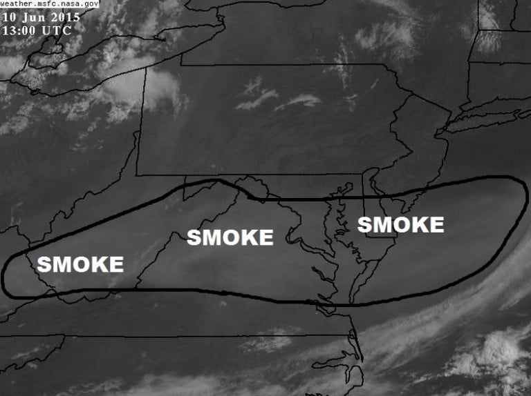
The main image above is visible satellite; the very light shade of grey is smoke.
The 1st image below is a GOES Satellite that specifically detects the highest quantity of smoke and aerosols. The 2nd image is an analysis of areas that have been impacted by the smoke. The last image is visible satellite posted by National Weather Service in Blacksburg, VA showing the smoke in the high levels of the atmosphere.
It’s amazing that smoke from wildfires in Canada traveled this far. The jet stream picked it up and brought it here. It’s a powerful driving force!